Routes


Description
-
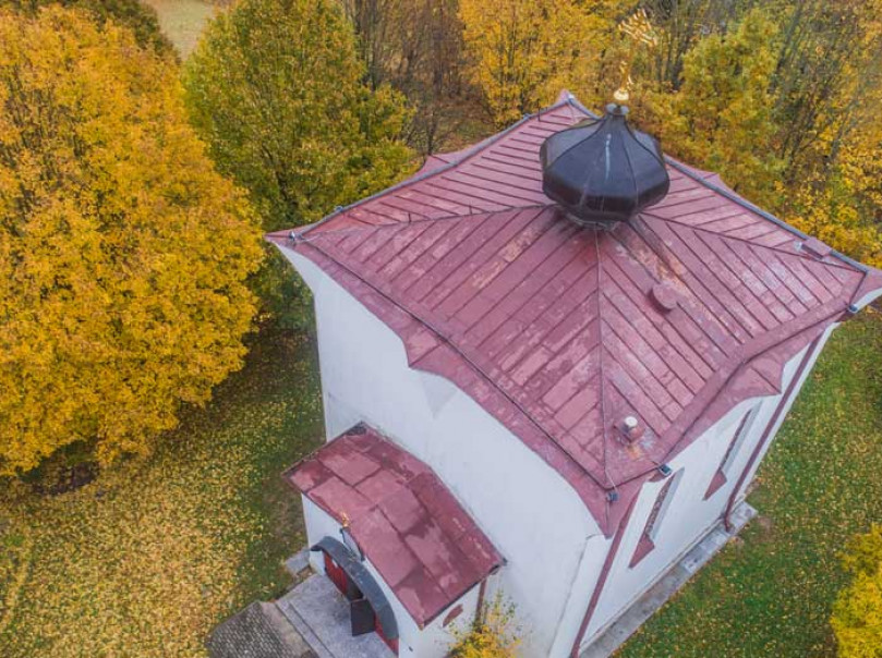
Telšiai Russian Orthodox St. Nicholas church
The Russian Orthodox St. Nicholas church was built for the first time in 1867 upon Vilnius hill, upon demolishing the Catholic church and destroying the old graveyard of the city. Due to local dissatisfaction a petition was sent to the Czar of Russia, with little success. More than 70 years later, in 1932 by the decision of the Supreme Tribunal of Lithuania the Orthodox Church was passed on to the Catholic community.
-
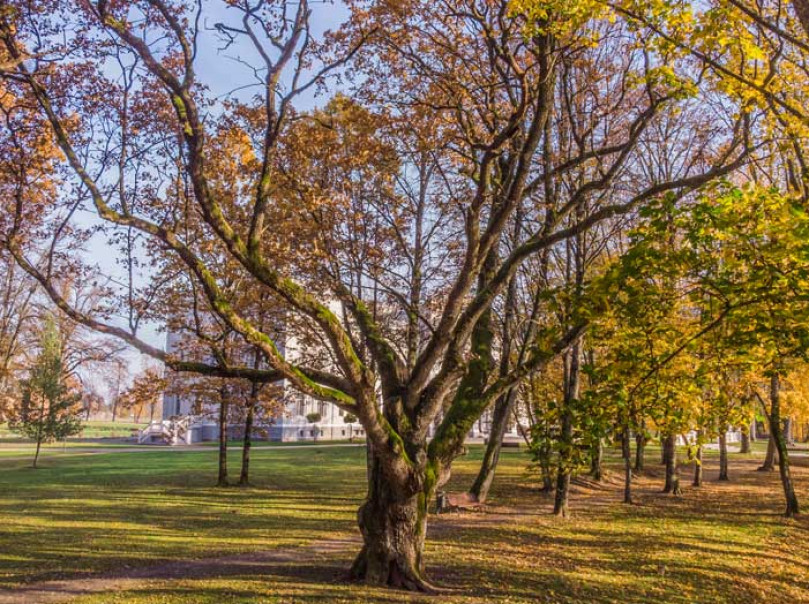
Perkūnas’s Oak
Perkūnas’s Oak – the oldest Oak tree in Plungė Mansion Park – grows in the central area of the park next to Oginskis Palace. The diameter of Perkūnas’s Oak is 1.65 m, while its height is 25 m. The tree was declared a natural monument in 1960, and since 1987 it has been a natural monument of national significance.
-
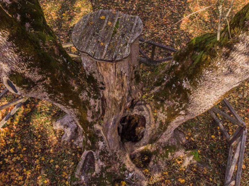
The Witch’s Ash
The Witch’s Ash is a botanical natural heritage object protected by the state. The tree grows in the park surrounding the Plateliai Mansions, in the territory of Samogitia National Park. The trunk of the European Ash measures 730 cm, with a height of 32 m, and it is more than 200 years old.
-
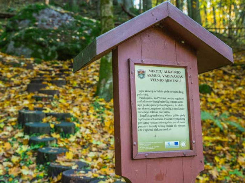
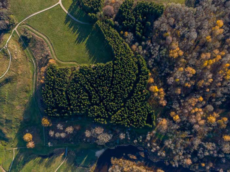
Mikytai Sacred Grove and stone with the devil’s footprint
Mikytai Sacred Grove, otherwise known as Alka Mountain, is located by the Bartuva, Minija and Venta River delta, in Samogitia National Park, Mikytai Landscape Reserve. The 1 km long Mikytai pedestrian path can also be found here.
-
Kartena Hillfort historical archaeological complex
Kartena Hillfort, also called the Castle, Swede or Lūžtis Mountain, is located on the other side of the river from Kartena Town. The town, as well as a bend in the Minija River and the surrounding valleys are visible from the hillfort. The hillfort has been dated to the 8th to 13th centuries, while the wooden castle that once stood there was a defensive and administrative centre for the Curonians of the Ceclis lands.
-
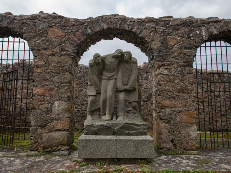
Forced labour camp in Dimitravas Village
In the 19th century, the family of Count Zubov family built an estate in Tarvydai Village, with cottages next to it for the servants of the estate. The village and the estate were named in honour of Count Dmitrij Zubov and were therefore called Dimitravas (it was re-named Tarvydai only in 1927).


